


Now Reading: Drones at Work Top Industry Uses
-
01
Drones at Work Top Industry Uses
The Sky’s No Limit Drones and Their Revolutionary Impact on Industries
Are you constantly searching for ways to make your business operations safer, more efficient, and more cost-effective? In today’s competitive landscape, relying on traditional methods for tasks like site surveys, inspections, or data collection can feel slow, expensive, and even unnecessarily risky for your team. You know there has to be a better way to get the critical information you need without breaking the budget or compromising on safety.
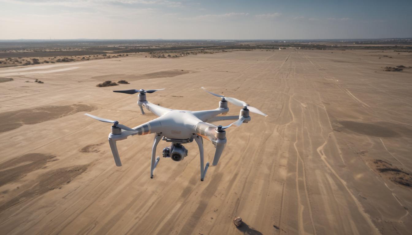
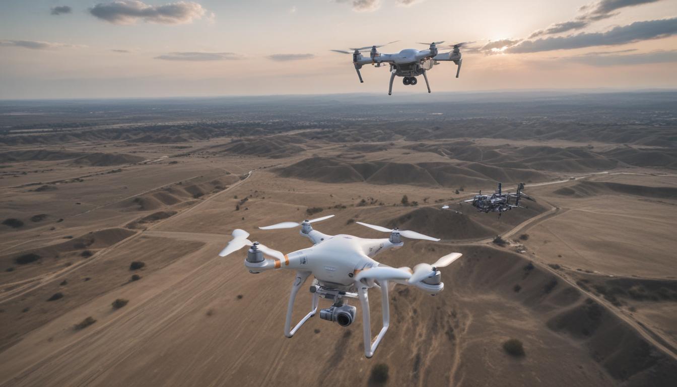
The solution is already here, and it’s taking flight. Drones, or Unmanned Aerial Vehicles (UAVs), are no longer just tools for photographers and hobbyists. They have evolved into powerful industrial assets capable of transforming how work gets done. By providing an accessible bird’s-eye view and collecting highly accurate data, drones are unlocking unprecedented levels of productivity and insight across a vast array of sectors. This technology offers a direct answer to the challenges of modern industry, empowering businesses to work smarter, not harder.
Transforming Construction and Real Estate
The construction industry is known for its complexity and reliance on precise measurements and constant monitoring. Drones are revolutionizing this field by providing rapid and highly accurate aerial data. Instead of spending days or weeks on manual land surveys, a drone can fly over a site and capture thousands of images in a matter of hours. This data is then processed to create detailed 3D models, topographic maps, and accurate volume calculations for earthworks. This not only saves an incredible amount of time and money but also improves planning and reduces the potential for costly errors.
Furthermore, drones are indispensable for tracking project progress. Regular flights provide stakeholders with a clear, visual timeline of the construction site, making it easy to monitor progress, manage logistics, and ensure the project is on schedule. In real estate, the impact is just as profound. High-quality aerial photography and videography for property listings have become the gold standard, offering potential buyers a captivating perspective that ground-level shots simply cannot match. Drones are also used for building inspections, allowing professionals to safely and quickly assess the condition of roofs, facades, and other hard-to-reach areas without the need for scaffolding or ladders.
A New Era for Agriculture
Modern farming is increasingly about data and precision, and drones are at the forefront of this agricultural revolution. In a practice known as precision agriculture, drones equipped with advanced multispectral and thermal sensors fly over fields to gather information that is invisible to the human eye. They can assess crop health, identify variations in soil conditions, and pinpoint areas suffering from water stress or pest infestations. This detailed insight allows farmers to move away from uniform field treatment and towards a more targeted approach.
By analyzing the data collected by drones, farmers can apply water, fertilizers, and pesticides with surgical precision, only where they are needed. This not only leads to significant cost savings on resources but also reduces the environmental impact of farming operations. The early detection of problems like disease or irrigation issues enables quicker intervention, ultimately leading to healthier plants and substantially higher crop yields. Drones are turning fields into data-rich environments, empowering farmers to make more informed decisions and manage their land more sustainably and profitably than ever before.
Enhancing Public Safety and Emergency Response
In critical situations where every second counts, drones provide an invaluable advantage for first responders and public safety agencies. During search and rescue missions, a drone equipped with a thermal imaging camera can scan vast and difficult terrains, like dense forests or collapsed buildings, to locate missing persons or victims far more quickly than a ground crew could. They offer immediate situational awareness during natural disasters such as floods, wildfires, or earthquakes, streaming live video to command centers so that rescue efforts can be coordinated effectively and safely.
This aerial perspective is a game-changer for law enforcement as well. Drones are deployed to create detailed 3D models of accident scenes for investigation and reconstruction, a process that is much faster and less disruptive than traditional methods. They are also used for monitoring large crowds at public events to ensure safety and can provide crucial oversight during tactical situations without putting officers in harm’s way. By providing a safe and effective eye in the sky, drones are fundamentally enhancing the capabilities of emergency services and helping to save lives.